4:00 PM (1.0 PDH)
 Seasonal Subsidence and Heave Recorded by Borehole Extensometers in Houston
Presented by Dr. Bob Wang with Houston GPS Network (HoustonNet)
BIO: Dr. Guoquan (Bob) Wang is an accomplished geophysicist and professor at the University of Houston. He earned his Ph.D. in Solid Earth Geophysics at the Institute of Geology of the China Earthquake Administration in 2001, his M.S. in Hydrogeology and Engineering Geology at Nanjing University in 1998, and his B.S. in Geology at China University of Geosciences in 1996. Dr. Wang's research interests include earthquake, landslides, and coastal hazards (e.g., sea-level rise, faulting, subsidence, flooding, wetland loss), and applications of GPS and LIDAR technologies in natural hazards and structural health monitoring (SHM). He has published over one hundred peer-reviewed journal articles focused on geological hazards monitoring and mitigation, including several groundbreaking studies that have had a significant impact on subsidence and groundwater management policies in the greater Houston region. His excellence in the field was recognized with an NSF CAREER award in 2009. Dr. Wang directs the Houston GPS Network (HoustonNet), which comprises over one hundred permanent continuous GPS stations within the greater Houston-Galveston region. He has been the director of HoustonNet since 2012 and the assistant director of the University of Houston Coastal Center (UHCC) since 2015. Beyond his research and leadership, Dr. Wang is deeply committed to education and mentorship, guiding numerous students in their academic and professional growth. He is also actively involved in organizing field trips and fostering international collaborations, further contributing to the global understanding and management of geological hazards.
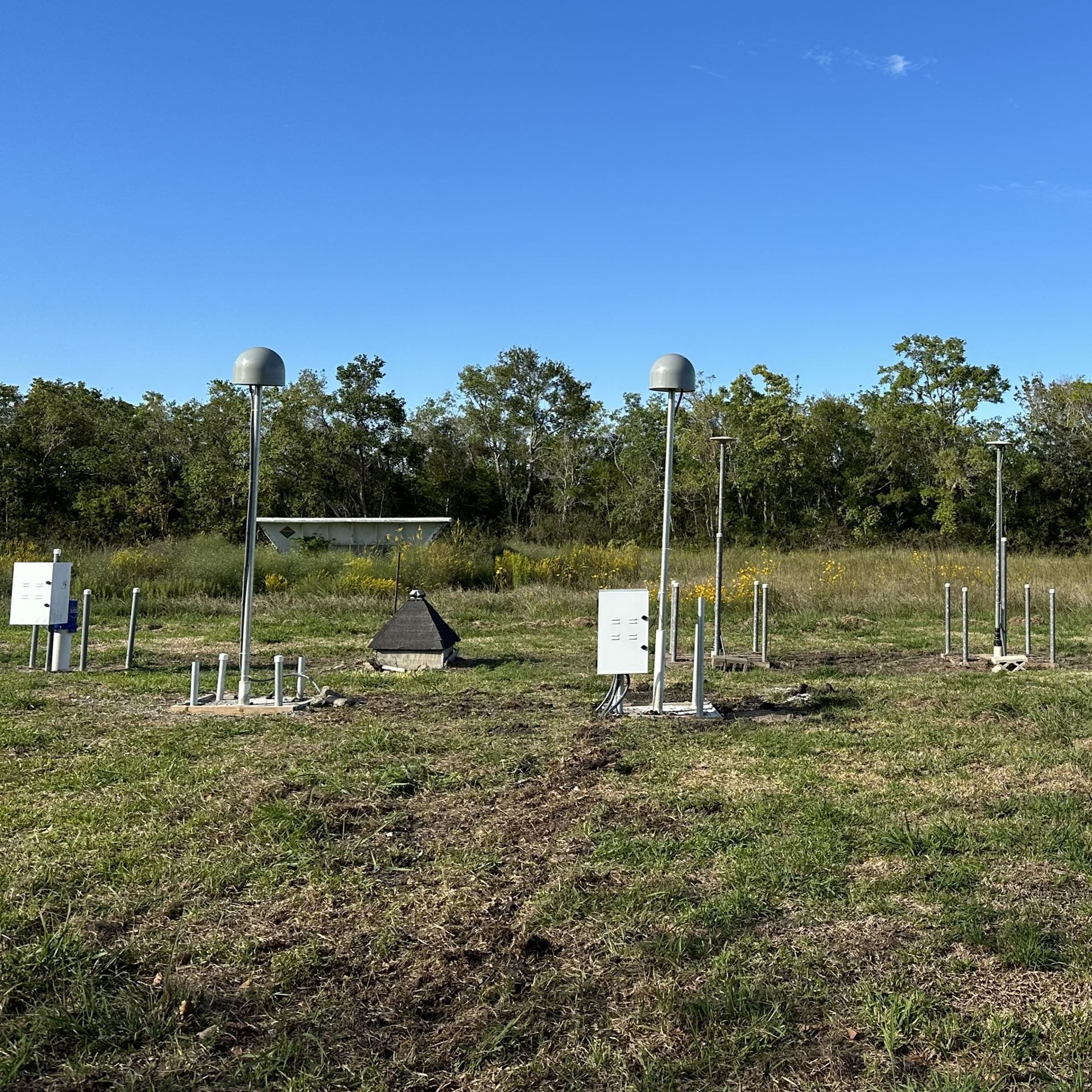
ABSTRACT: This talk will explore seasonal subsidence and heave in the greater Houston region, as revealed by long-term GPS and extensometer data. The discussion will identify two main causes of seasonal ground deformation: the elastic deformation of shallow expansive soils due to weather variations, and the elastic reaction of deep sediments to seasonal fluctuations in groundwater levels within the confined aquifer system. Additionally, this presentation will examine the inelastic compaction of both shallow and deep sediments, which leads to permanent land subsidence.
5:00 PM (1.0 PDH)
 Seismic Imaging of Subsurface Deformation: Insights from Seismic Surveys Along Roads, Dams, and Abandoned Mines
Presented by Dr. Ahmed Ismail, Ph.D., PG, Principal Geophysicist with Maxima Geophysics, LLC
BIO: Dr. Ahmed Ismail is an internationally recognized geophysicist with over 25 years of experience in industry, research, and academia. He currently serves as the president and principal geophysicist at Maxima Geophysics, a leading geophysical service company in Texas. His background encompasses extensive applications of seismic, electric, electromagnetic, and GPR methods for geotechnical, environmental, and groundwater studies. He specializes in subsurface characterization, particularly under asphalt and concrete roads. During his term as a faculty at Oklahoma State University, he has taught numerous geophysics courses, and successfully mentored several Ph.D. and M.S. degree students. He holds a Ph.D. degree in geophysics from Missouri University of Science & Technology and authored over a hundred peer-reviewed geophysical papers and abstracts.'
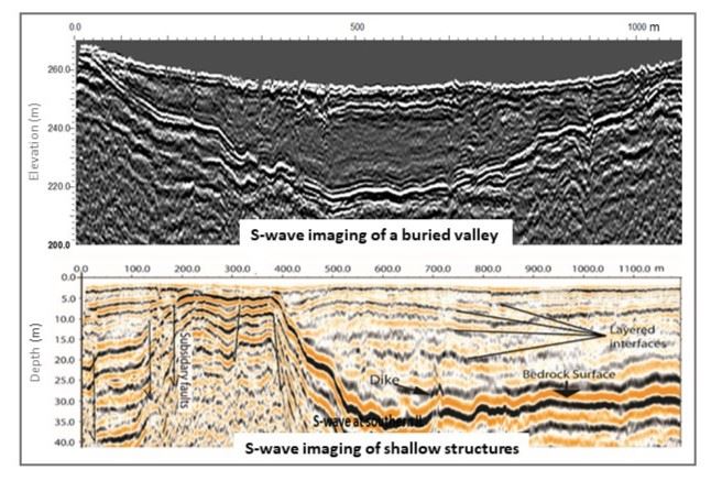
ABSTRACT: Subsurface deformations, particularly beneath roads and dams, present a significant geohazardous concern. This presentation emphasizes the advantages of seismic surveys in detecting subsurface deformations across various geological settings. It highlights the improvements in S-wave and P-wave seismic data acquisition for increased efficiency and showcase results from seismic surveys conducted along dams, roads, and abandoned mines.